
CONSTRAINTS MAPPING AND ANALYSIS
A cornerstone of GIS service provision at GSD is Site Suitability Analysis (SSAs), where multiple data sources can be simultaneously considered to identify the overall potential for risks, hazards or constraints when planning developments. GSD has been carrying out this kind of work for over ten years and has worked hard to make this process efficient and accessible for our clients.
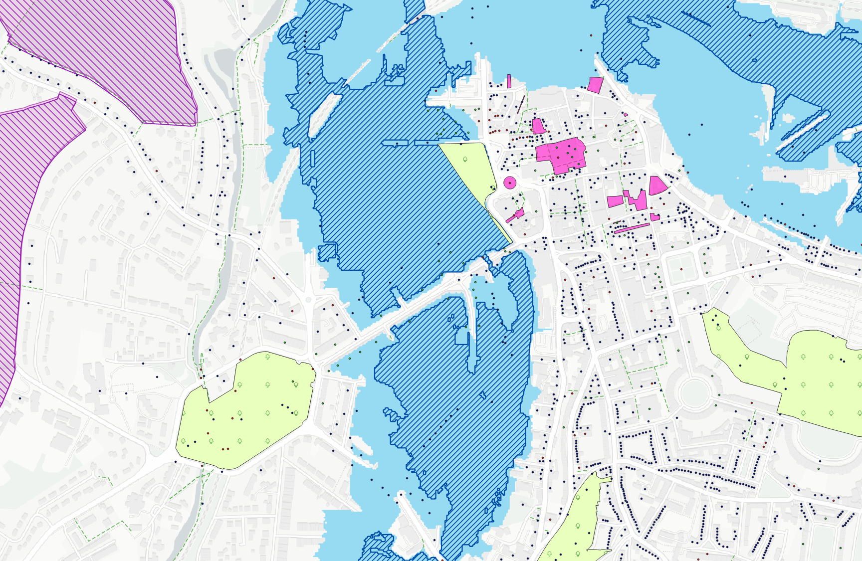
Through working with numerous clients, developing bespoke SSAs both at macro and large scales, GSD have identified data frequently cited as critical to proposed developments and has developed in house solutions to quickly map and analyse this data with respect to newly identified sites. Our approach combines a large number of individual layers repreenting a variety of constraint types including environmental, such as flood risk and designations, cultural layers such as battlefields or listed buildings, infrastructural and topographical constraints to create an extensive library. This enables GSD to rapidly map and provide constraints analyses and suitability models.
Furthermore, GSD understand the needs of our clients to work with and understand their spatial data and so we use in-house tools to provide easy to access and easy to use web maps. These allow clients to instantly visualise and explore their sites in familiar environments that do not require specialist software or licenses, meaning they can be utilised in the office as well as, crucially, out on the site. This methodology has helped many clients fully utilise spatial data to provide insight into constraints analysis across a number of disciplines.