

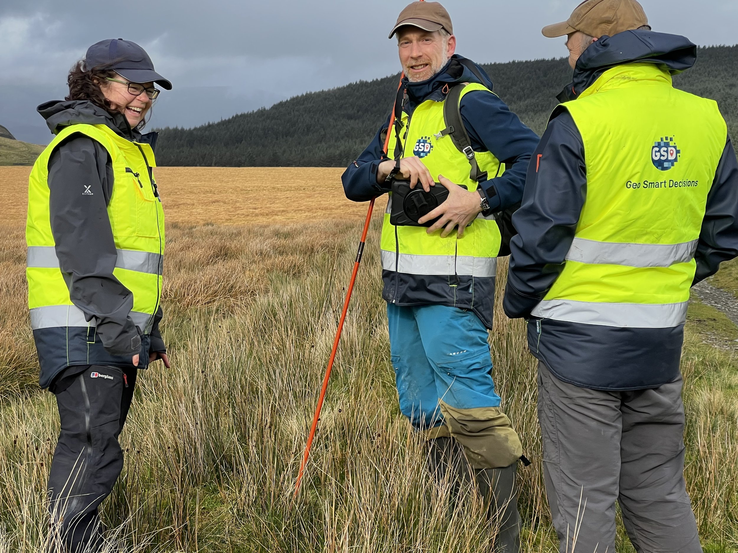
A UK based GIS and Remote Sensing Consultancy for the environment sector
GSD has worked with environmental and geospatial data, maps and satellite imagery since 2011.
Whether large or small, we work on projects all over the world, across all sectors whether for private clients, the public sector or on multi-partner collaborative projects.
Services
At GSD, we provide GIS support to the planning and forestry sectors as well as carry out surveys, collect and analyse spatial data and provide maps across a range of environmental and land management applications.